

GIS Ai
Artificial Intelligence (AI) is playing an increasingly significant role in Geographic Information Systems (GIS) services, revolutionizing how geographic data is analyzed and utilized

Geographic Information Systems (GIS) services
Spatial Analysis
AI algorithms performs complex spatial analyses, identifying patterns and relationships within geographic data more efficiently than traditional methods. This is particularly valuable for tasks like site selection, route optimization, and land-use planning.
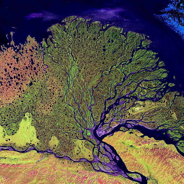
Image Recognition and Remote Sensing
AI processes and interpret satellite and aerial imagery, identifying objects and features in the landscape, which is useful for applications like disaster monitoring, land cover classification, and forestry management.
Data Integration and Cleaning
AI helps to integrate and clean diverse data sources, improving the quality and accuracy of GIS data. It can also identify data outliers or errors more effectively than manual methods
Predictive Modeling
AI creates predictive models that anticipate spatial trends and changes, such as predicting urban growth, disease spread, or environmental impacts.
GIS
GIS technology allows organizations and individuals to work with location-based data, providing valuable insights and solutions across various industries.